


Head north--- Thru hiking the Ko'olaus? ---Head south
***NOTICE: Mariner's Ridge is CLOSED and ENFORCED by KSBE. Do not attempt to hike the Mariner's Ridge Trail. Doing so will be trespassing and can be subject to action by KSBE.***
***NOTICE: Mariner's Ridge is CLOSED and ENFORCED by KSBE. Do not attempt to hike the Mariner's Ridge Trail. Doing so will be trespassing and can be subject to action by KSBE.***
I would hike with the gang from Leslie's "O'ahu Hikers & Adventurers". We were to go up Kaluanui, more commonly called Mariner's Ridge, cross over the Ko'olau summit ridge to Kuli'ou'ou Ridge, and descend it's state trail back down into Kuli'ou'ou Valley. The hike up Mariner's Ridge is short, an hour, maybe an hour and a half. For those wanting a quick hike, this is the route to go. Unfortunately, as of writing this entry in 2017 (it only took me a little under 7 years to write this!) this trail has been shut down and barricaded by it's land owner "Kamehameha Schools/Bishop Estate" so hiking this quick and wonderful trail is no longer available to the general public. It's too bad because from up here, the views down into Waimanalo town and the surrounding landscape are majestic. Anywhere along the top of the Ko'olau Mountain Range are unlimited epic views as far as the eye can see. But this trail was the quickest way one could access the summit ridge of the Ko'olaus and get that view.


Once we gained the summit, we were to head north along the summit ridge and hike towards the terminus of Kuli'ou'ou Ridge. This is the topping out point of the state trail that begins at Kuli'ou'ou Valley. On this day, it was going to be our exit.


Immediately to the left of the Mariner's Ridge terminus is a small scramble down into a small saddle that goes back up to a smaller peak and makes a hard left.

The trail here is dusty, and a lot of the rocks crumble into that fine dust, an all too common trait of all ancient Hawaiian volcanoes.


The trail here is dusty, and a lot of the rocks crumble into that fine dust, an all too common trait of all ancient Hawaiian volcanoes.

Not too farther was the pyramid that overlooks the Hahaione Valley on the Hawai'i Kai facing side of the mountains. This is also the topping out point of the Hahaione Trail, another short but awesome trail to the top of the Ko'olaus. From a distance, it can look a little intimidating, but ledges and holds are plentiful and it's not a cause for concern at all.


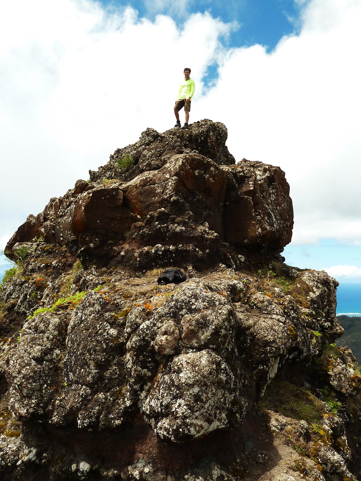


From here, the trail follows the crest of the Ko'olaus with the all too familiar ups and downs. But the overall for the summit ridge is a gradual upward grade towards Kuli'ou'ou. The vegetation is arid and windswept. There are some spots with much needed shade but overall, you're going to be under the sun. But wow, those views!


A little more than halfway there are two white power line supports so when you see these, you are getting close to Kuli'ou'ou!


It was around here where the clouds rolled in and provided with some much needed shade. A short while later, we came upon the golden brown dirt of the terminus. Time for some ono grindz!


A little more than halfway there are two white power line supports so when you see these, you are getting close to Kuli'ou'ou!


It was around here where the clouds rolled in and provided with some much needed shade. A short while later, we came upon the golden brown dirt of the terminus. Time for some ono grindz!


From here, we descended the Kuli'ou'ou Trail, a trail that is part of the Na Ala Hele trail system for O'ahu. After the switch backs, the hike concluded a nice little stroll on the Ko'olaus above Hawai'i Kai.


