
Today's adventure covered the section of the Waiʻanae Summit Ridge between the terminus of Kealia Trail and Mt. Kaʻala Road. We had hoped to gain the actual summit of Mt. Kaʻala but time caused us to head down the very long paved road back to Waialua. Joining me on this trek would be Joshua, Jon, and Jani. This would be Josh's first hike out in the Waiʻanae Mountains. We didn't have a car staged because of our plans to reach Kaʻala and head down the Waiʻanae-Kaʻala Trail down into Waiʻanae Valley. That trailhead is notorious for break ins so we opted for a pick up at that location.


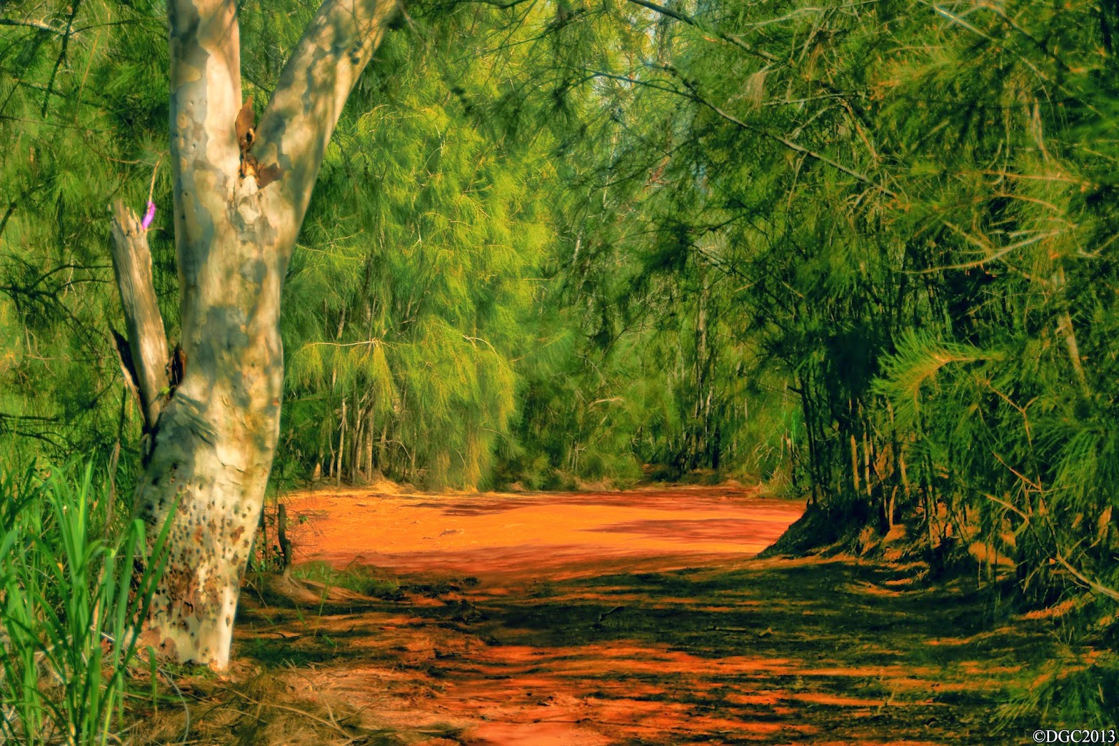
We started off at around 8am at Dillingham Airfield and headed up Na Ala Hele's Kealia Trail. The last time I did this actual trail was back in 2008. I recalled the steep "Three Sisters" as one blogger called them, a series of uphill dirt roads. It wasn't as taxing as it was back in 08 and we soon gained the Kuaokala Hunting grounds. We passed a junction that had a sign, indicating the direction of Kaʻena Point Satellite Tracking Station, the U.S.A.F. military installation that I've visited a week ago. A short walk through Ironwood forest and we were looking down into Mākua Valley, one of many leeward valleys of west Oʻahu. Looking west along the crest, we spotted a group of hikers. They were appearing to head in this general direction, possibly from KPSTS. The weather was excellent for summit walking, clear of clouds with gentle breezes.


We didn't waste time at the top as we had a long day ahead of us. After exchanging shakas with the other hiking group, we headed eastward along the crest. Looking at the vista, we could make out the summit ridge heading all the way to the mammoth Mt. Kaʻala. Puʻu ʻOhikilolo was clearly visible as the pyramid looking peak and it's ridgeline spanning from the summit crest all the way to Keawaula Bay (Yokohama Beach). We thought we were going to be hiking the crest for the entire way, but it wasn't long before we found ourselves on one of the dirt roads that makes up the complex dirt road system in this area of the Waiʻanaes. As we continued to hike east, the angle that we saw Mākua Valley changed. It opened up to a larger viewing area of the valley and the ocean. There were times that we also got some spectacular views of Oʻahu's north shore. The HECO (Hawaiian Electric Co.) Pūpūkea wind farm, which was erected in 2012/13 created an eye sore as I remember this view vividly without the windmills. The northern Koʻolaus were clear of clouds but we could see the cumulus clouds forming over the mountain range.


We eventually came upon that metal fence line that I've always dreaded while hiking. Since this fence separated the leeward from the windward of wild goats or pigs, we were to follow this fence for much of the way. Since I've also remember hiking the summit stretch of the Waiʻanaes between Peacock Flats and Three Corners years back, I knew this fence would stretch all the way to at least Three Corners. Better learn to enjoy the fence, Kawika.


We continued to hike for some time, enjoying the ever lasting views of both north shore and Mākua Valley and the surrounding flora and fauna. We stumbled upon a geological survey marker that read "MOKU". A short while later, we've came upon some sort of building area and a paved road. We didn't know what was here or if we were able to be here so we snapped a few photos and continued on our way. There were a few wooden structures holding up steel drums. What was inside these barrels was unknown. The further east we went, the more central Oʻahu was visible.


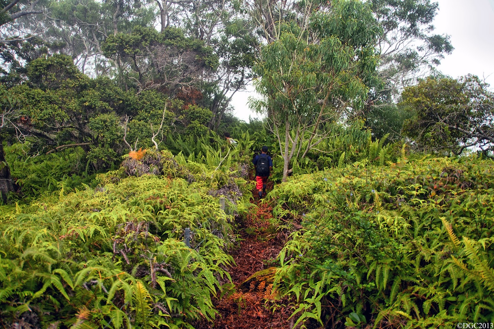
I began seeing familiar areas. Wait, was that building complex that we've passed a while ago part of Peacock Flats area? Jon apparently told us that it was and he was right. We were well on our way to Three Corners. We kept following the fence and running into random signage that dotted the fence line, ranging from explosive area, to signs indicating rat poison traps, and the like. Then suddenly the vista opened with the most incredible view of Mākua Valley I've have ever seen, although I've seen it before! But wow, this view was still as breathtaking! Unfortunately, clouds were beginning to form over the crest and we knew this meant trouble for navigation purposes. We pushed onwards and the landscape changed from the dry Waiʻanae Mountain look to a more Koʻolau look with the Uluhe.


We were in autopilot with a heading of following the fence as the clouds continued to thicken around the summit ridge. After a while, I began sensing that something wasn't right about our path. We were heading in a mostly downward direction, something that we shouldn't be doing on the crest. We reached a grassy flat section and I began to mention the doubtfulness of this path. At the same time, the clouds lifted and we were looking at the north shore head on. Somehow we got turned around with the fence line at the summit in all those clouds. Frustration began to settle into me as I couldn't figure out how we ended up here, when in fact, I've done this section before. Turns out even navigating in the clouds in a familiar area can still prove tricky. We headed back up to where we came from. Once at the top, the clouds were still thick enough that we couldn't make out the crest but we did notice that the fence did split into another direction. This must be the summit crest. Sure enough, the clouds lifted to reveal the answer. I've totally forgot about the fence junctions and apparently let autopilot follow the fence.


Finally, we were back on the right path and headed onward on this roller coasting ridge of a hike. The somewhat steeper sections where the fence became the ground were annoying as hell. Regardless, we made it to Three Corners at last, but the clouds were beating us to the view. We witnessed the view for about a few minutes before the clouds completely shrouded it. The sunlight was beginning to fade so Kaʻala was out of the question. Then I thought about the paved road that lead up to the flat topped peak. We'll just head down that instead. The Uluhe returned and the trail was overgrown. We got to a point where we could make out the road about 50ft below us, paralleling the ridge crest. We noticed a faint trail heading downward to it so down we went and we all felt relieved when we set foot on pavement. Now to head down 5 miles of it in wet misty cloudness. Ugh!


Nevertheless, we were happy of how much we've covered on this day. As we dropped below the cloud decks, we could make out the blinking red lights of the Pūpūkea wind farm, which made for an eerie futuristic look. Looks like it could resemble a cloaked star ship like the Enterprise that has landed there. After a painstaking hour or two on the road, we made it to Farrington Highway. Mahalo to Jon's Mom for picking us up! What an epic day in the mountains indeed.